Flood Cameras
Hamilton Plains
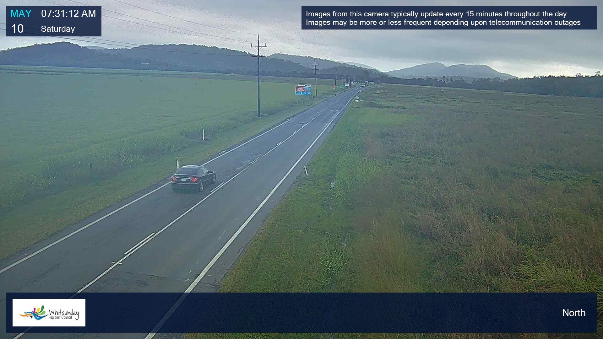
NORTH
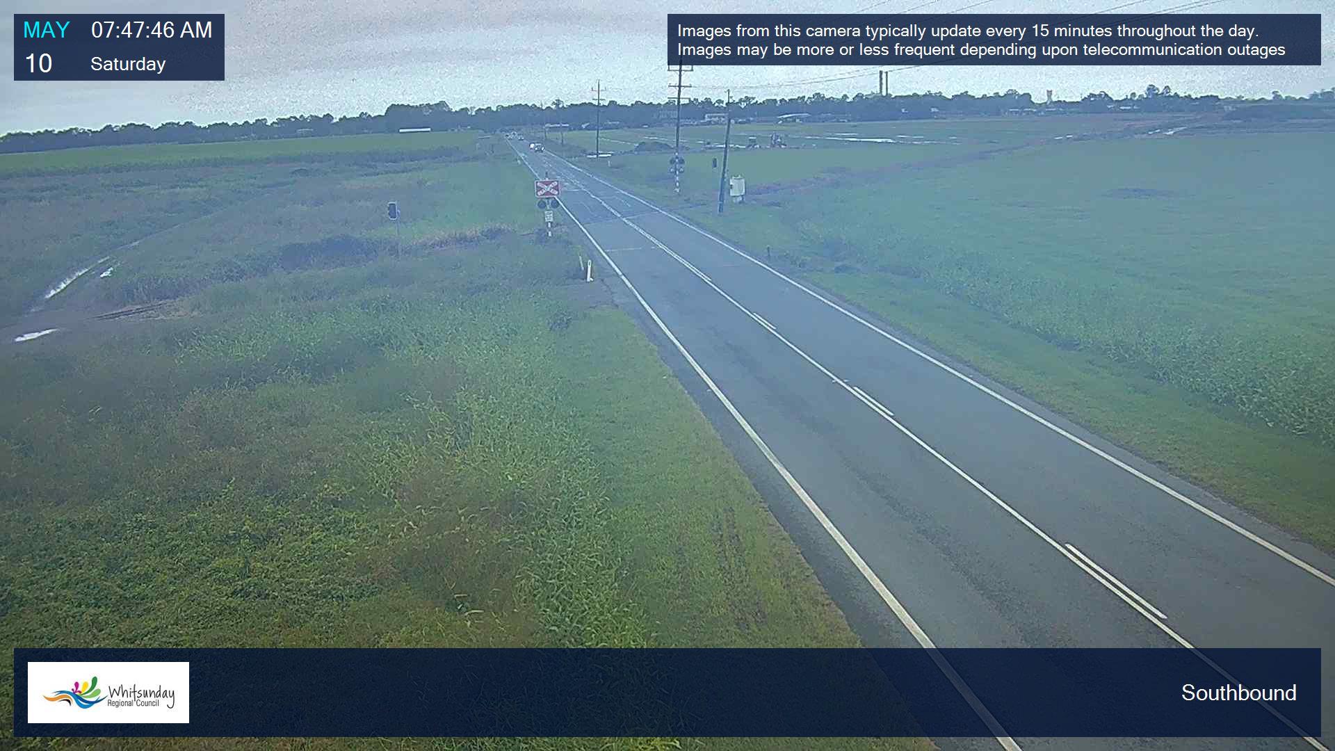
SOUTH
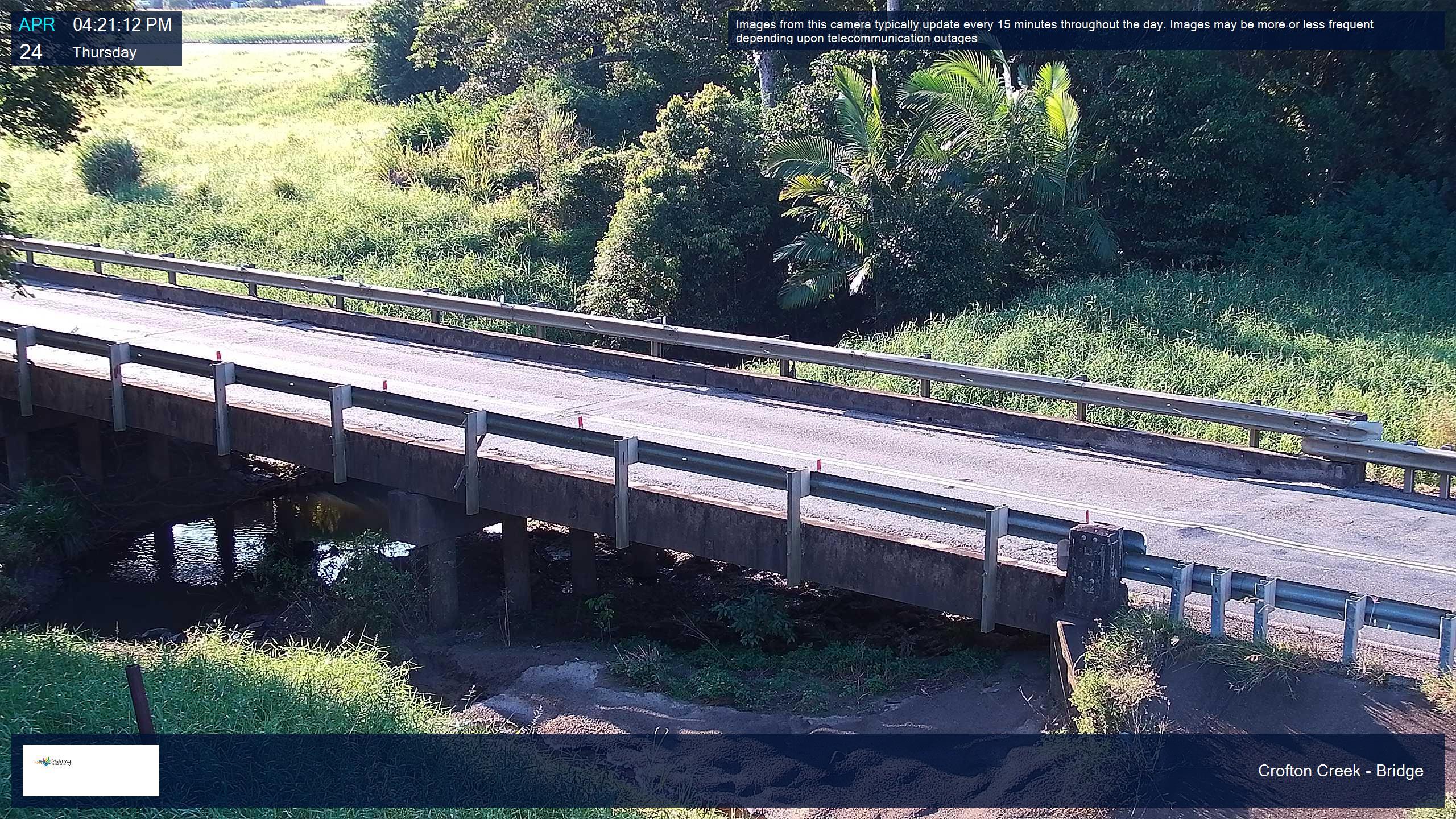
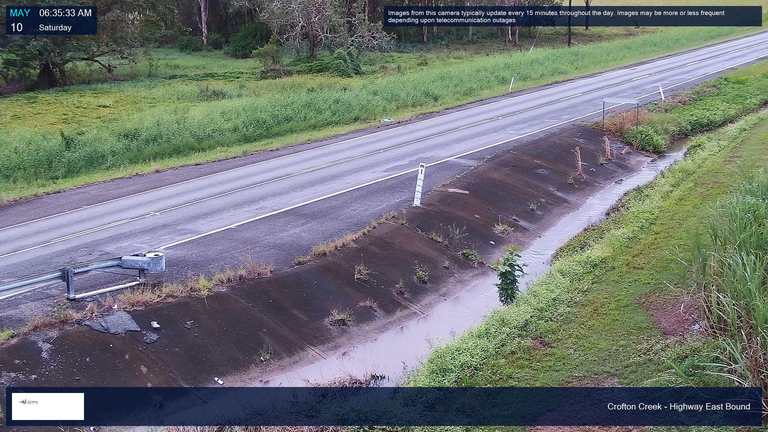
Crofton Creek
BRIDGE
CROFTON CREEK TO AIRLIE BEACH
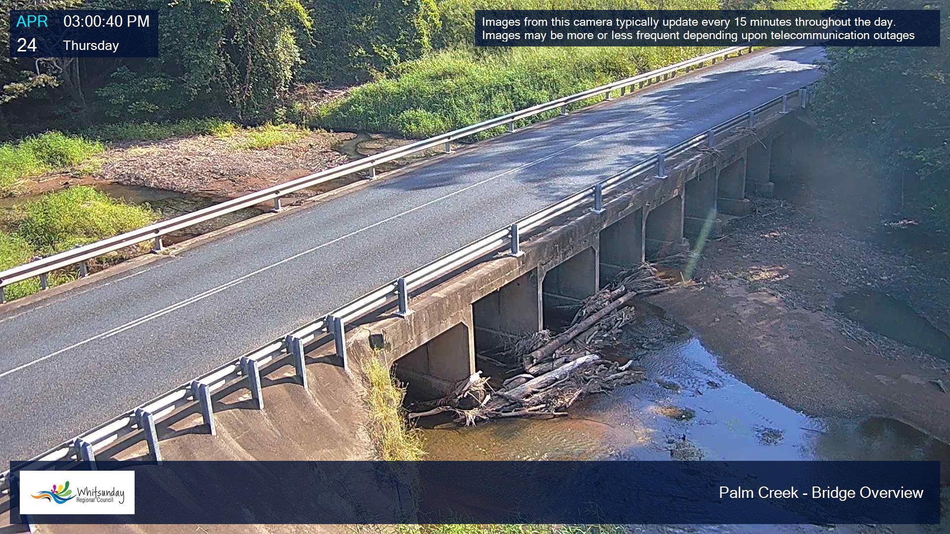
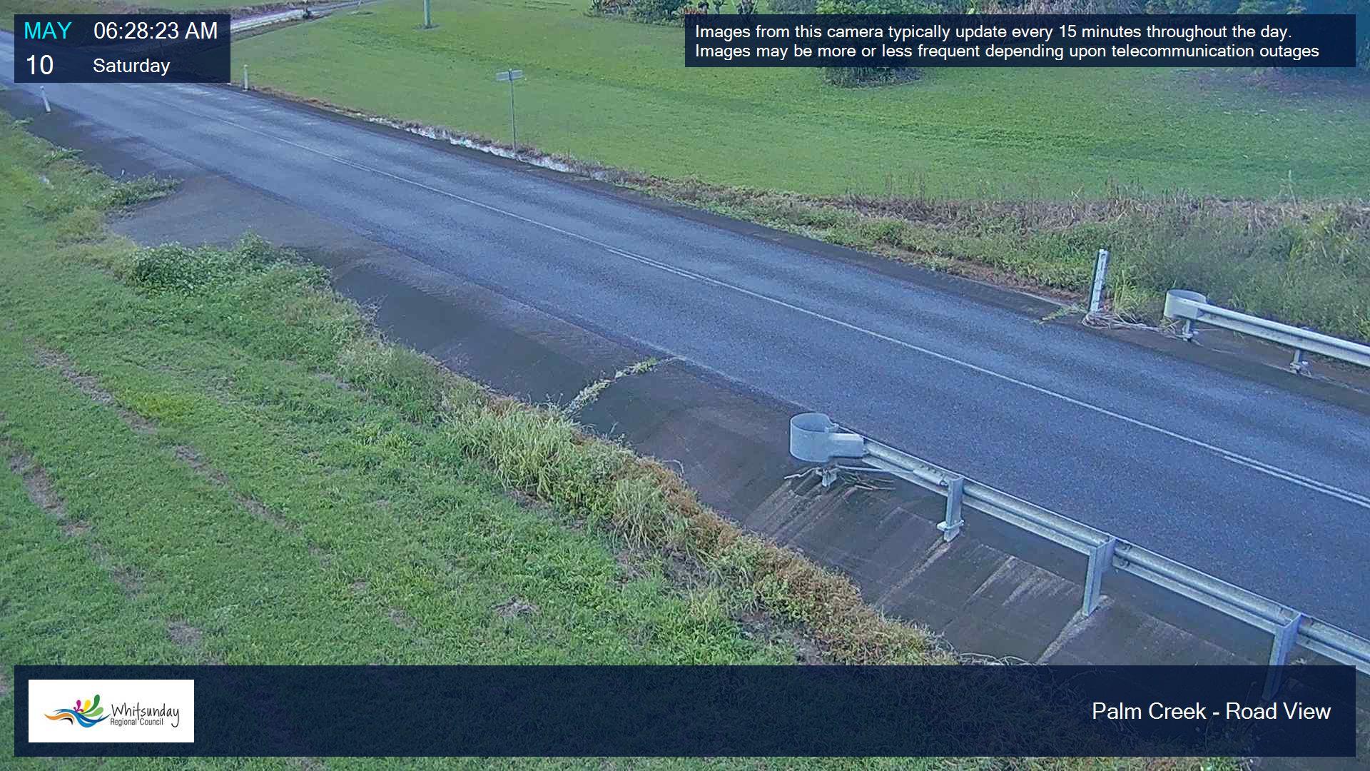
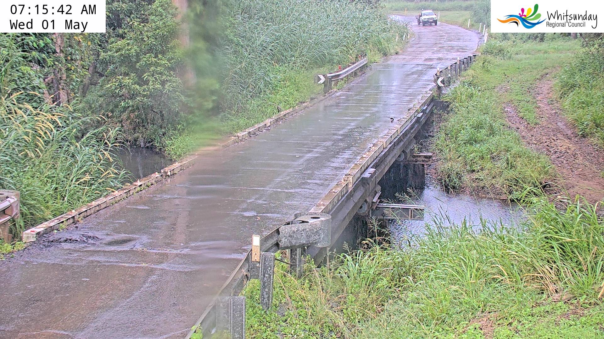
Palm Creek (Conway Road)
BRIDGE
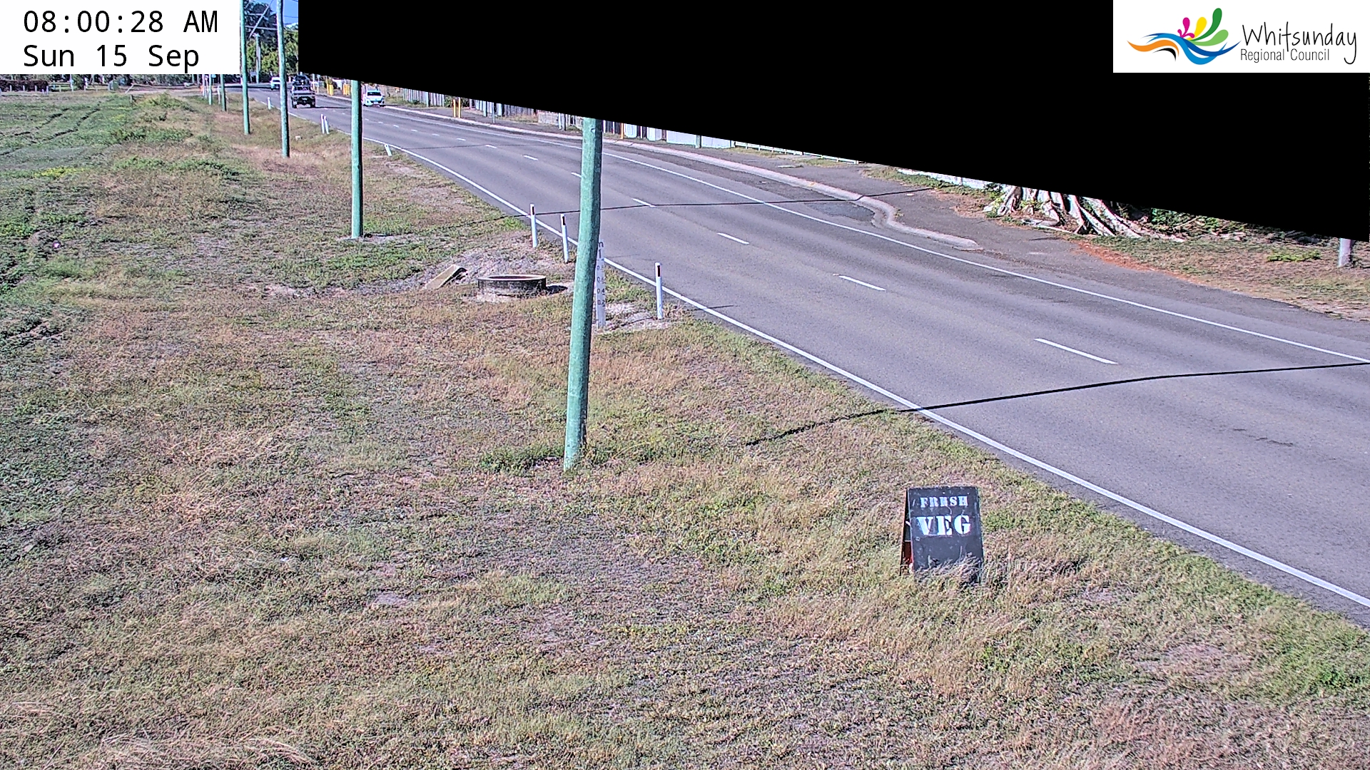
ROAD VIEW
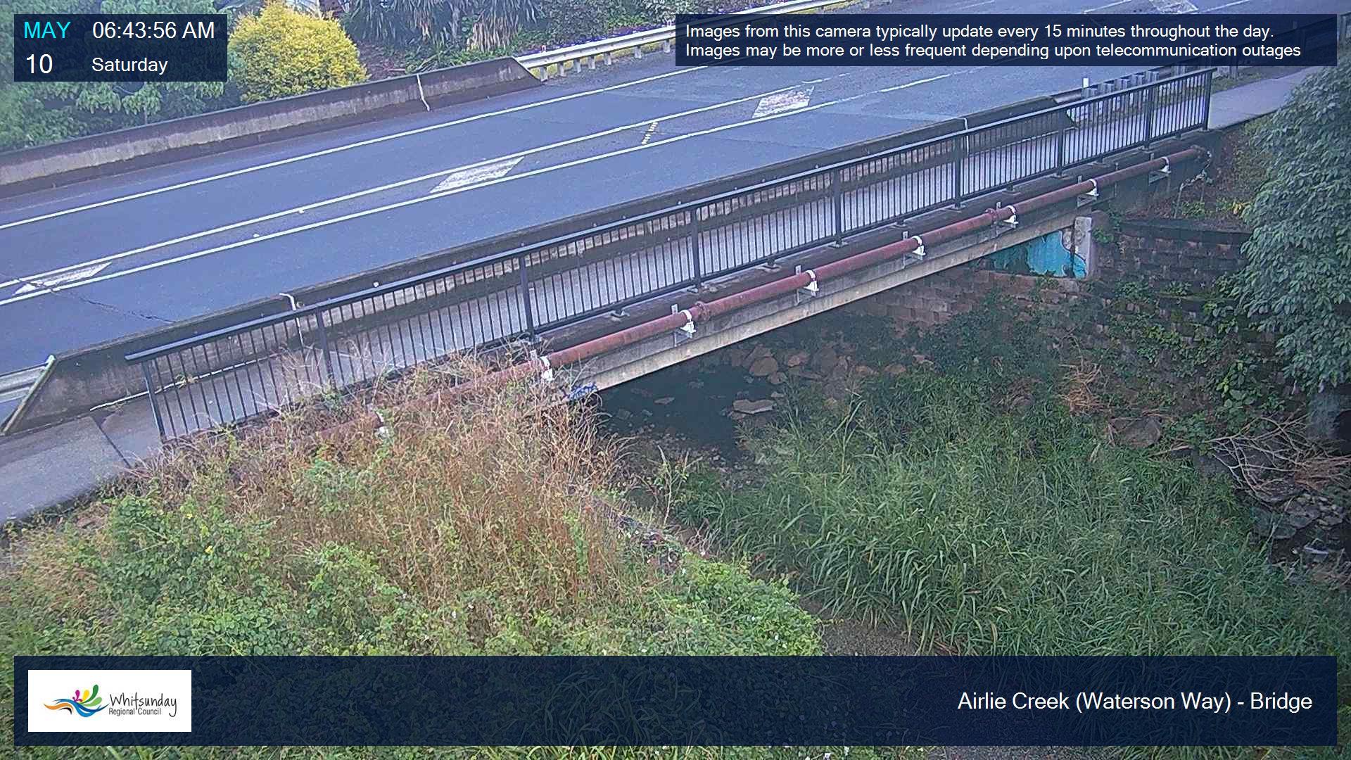
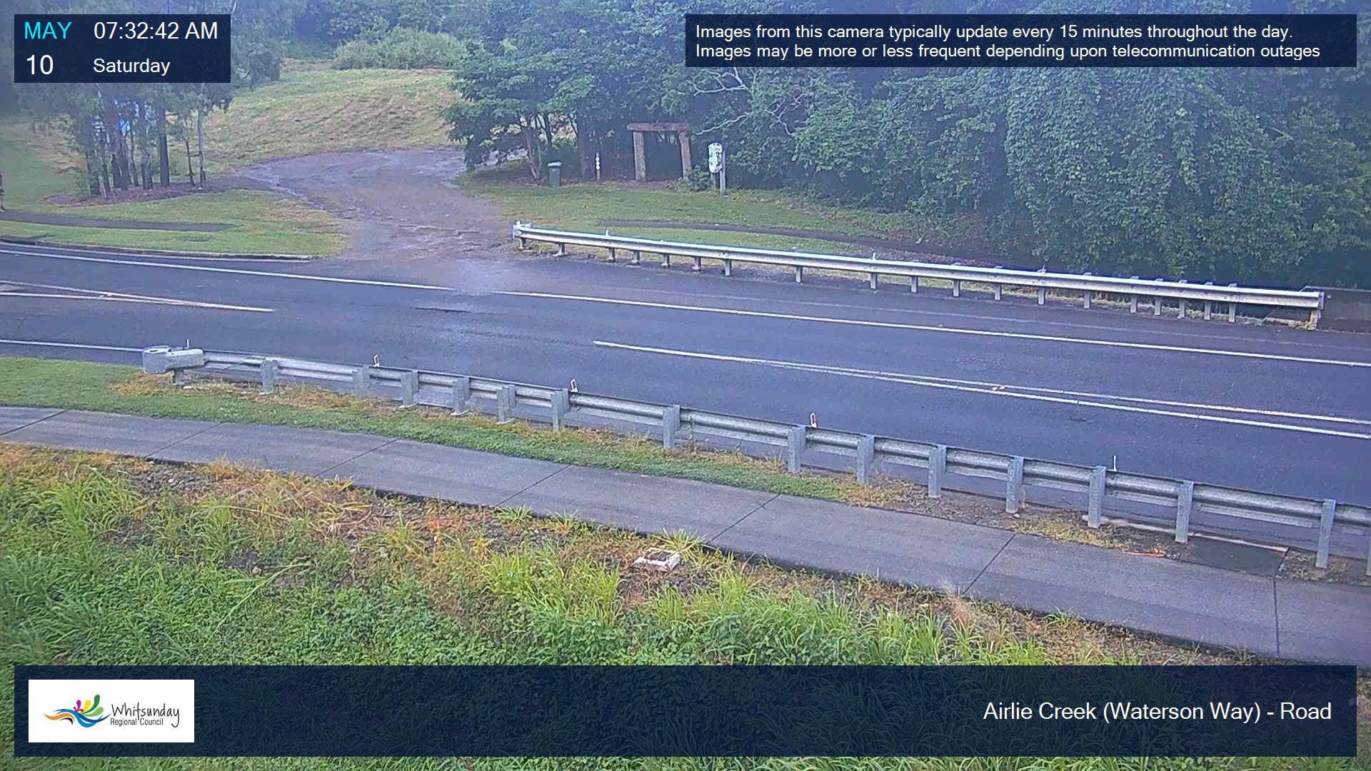
Airlie Creek
BRIDGE (WATERSON WAY)
ROAD VIEW
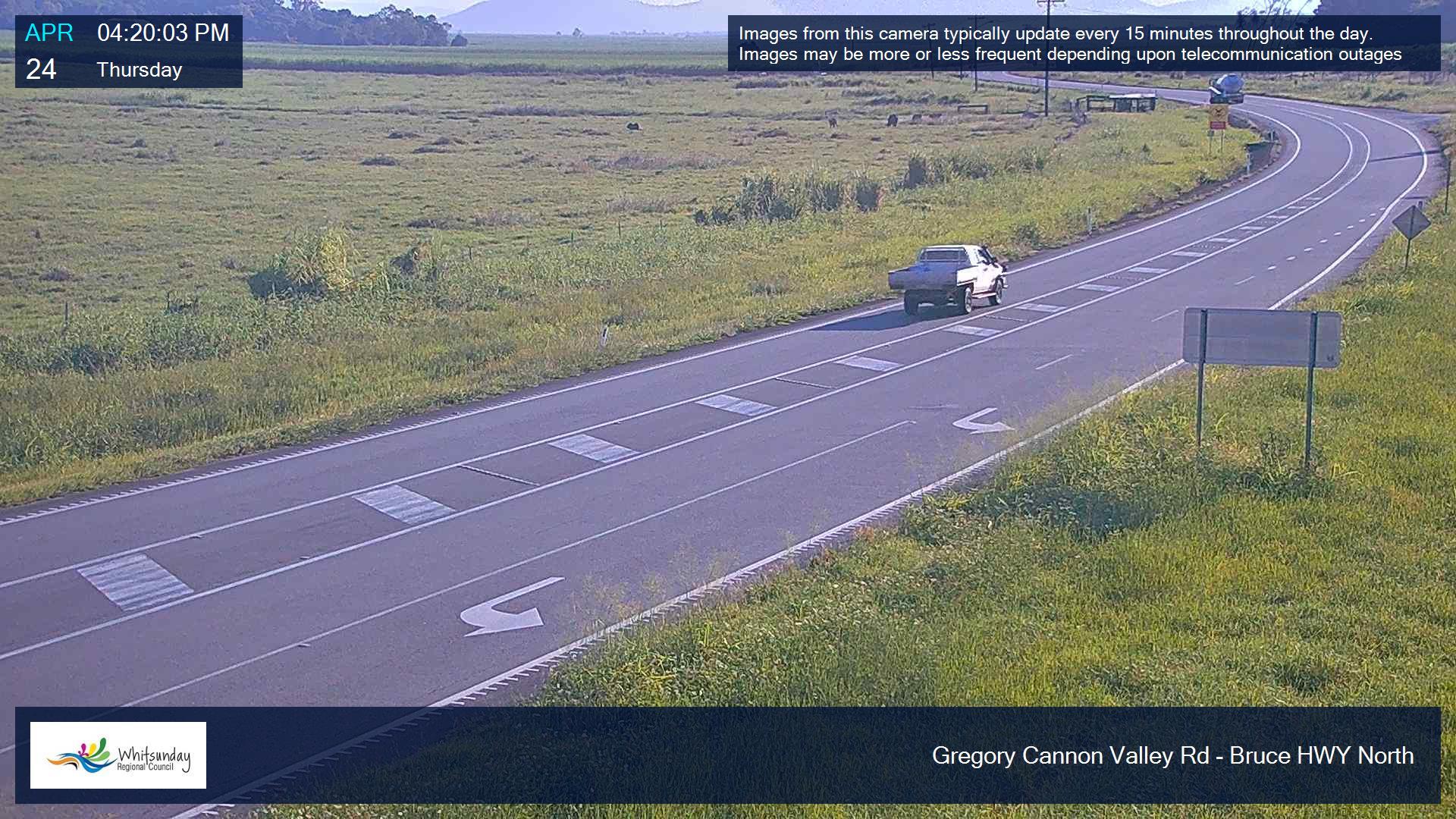
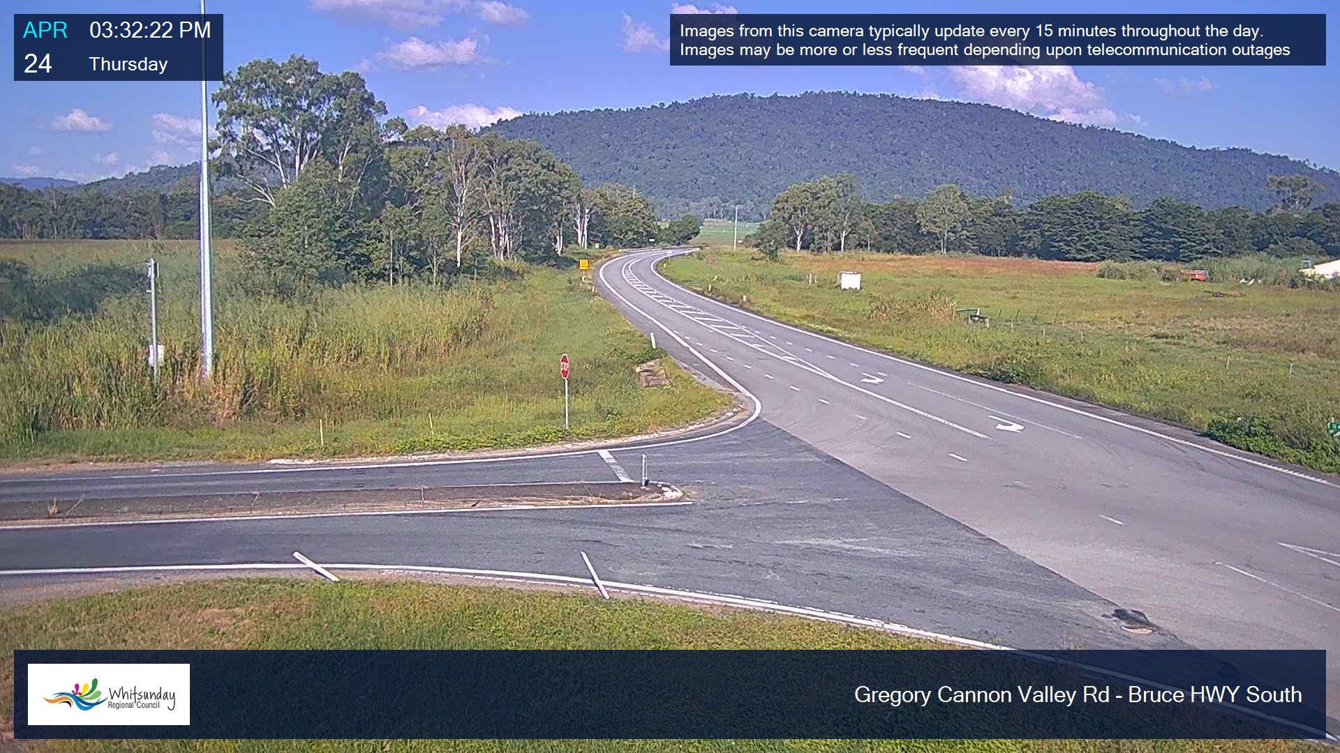
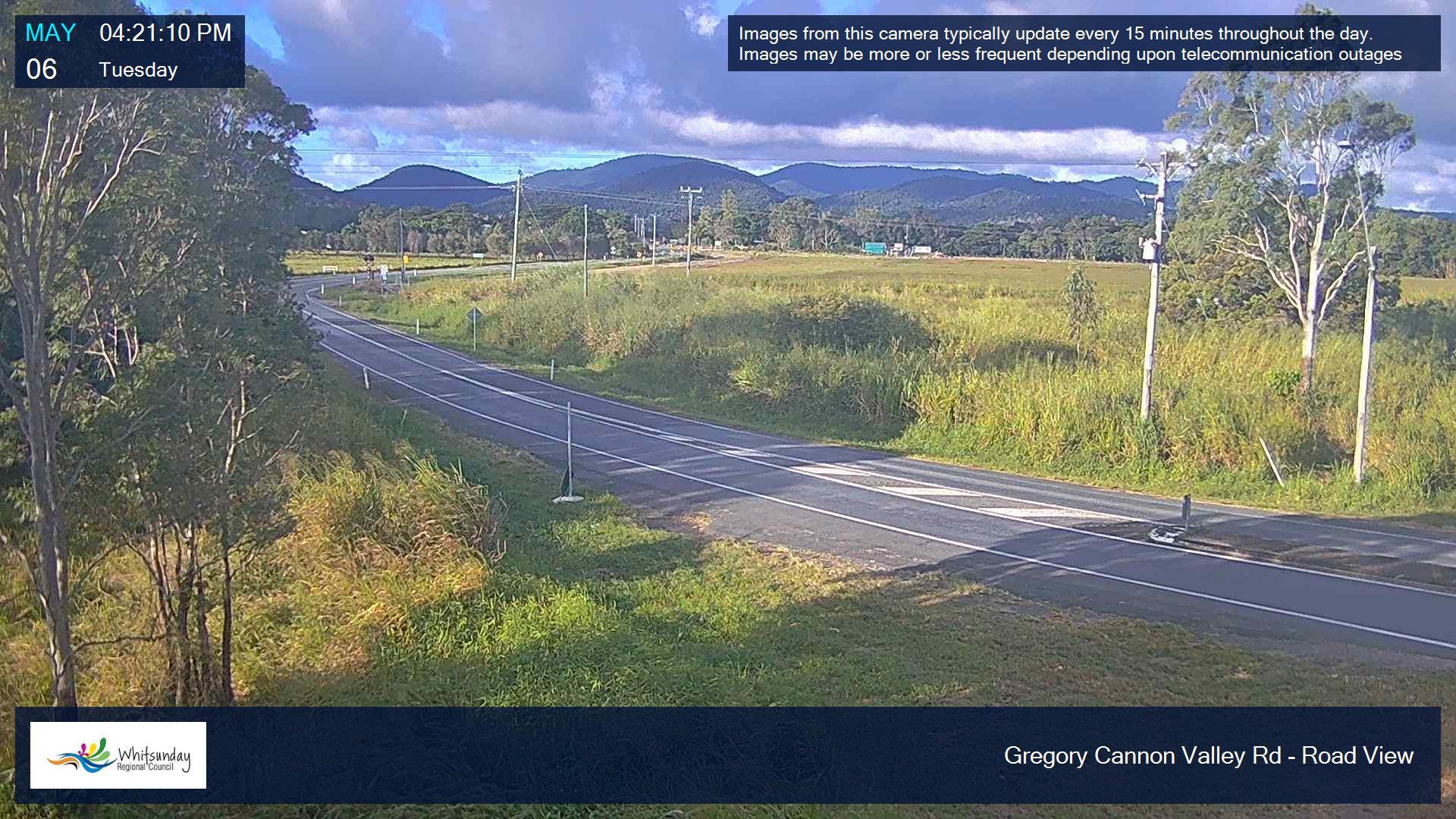
Gregory-Cannonvalley / Bruce Highway
NORTH
SOUTH
ROAD VIEW
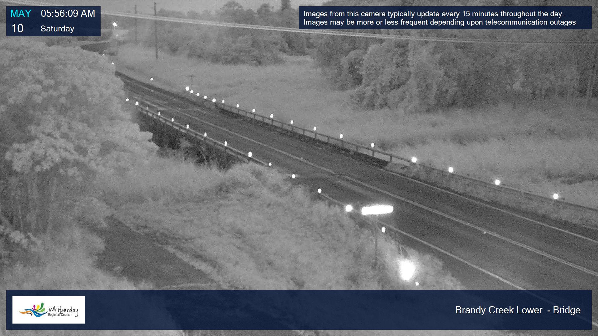
Brandy Creek
BRIDGE
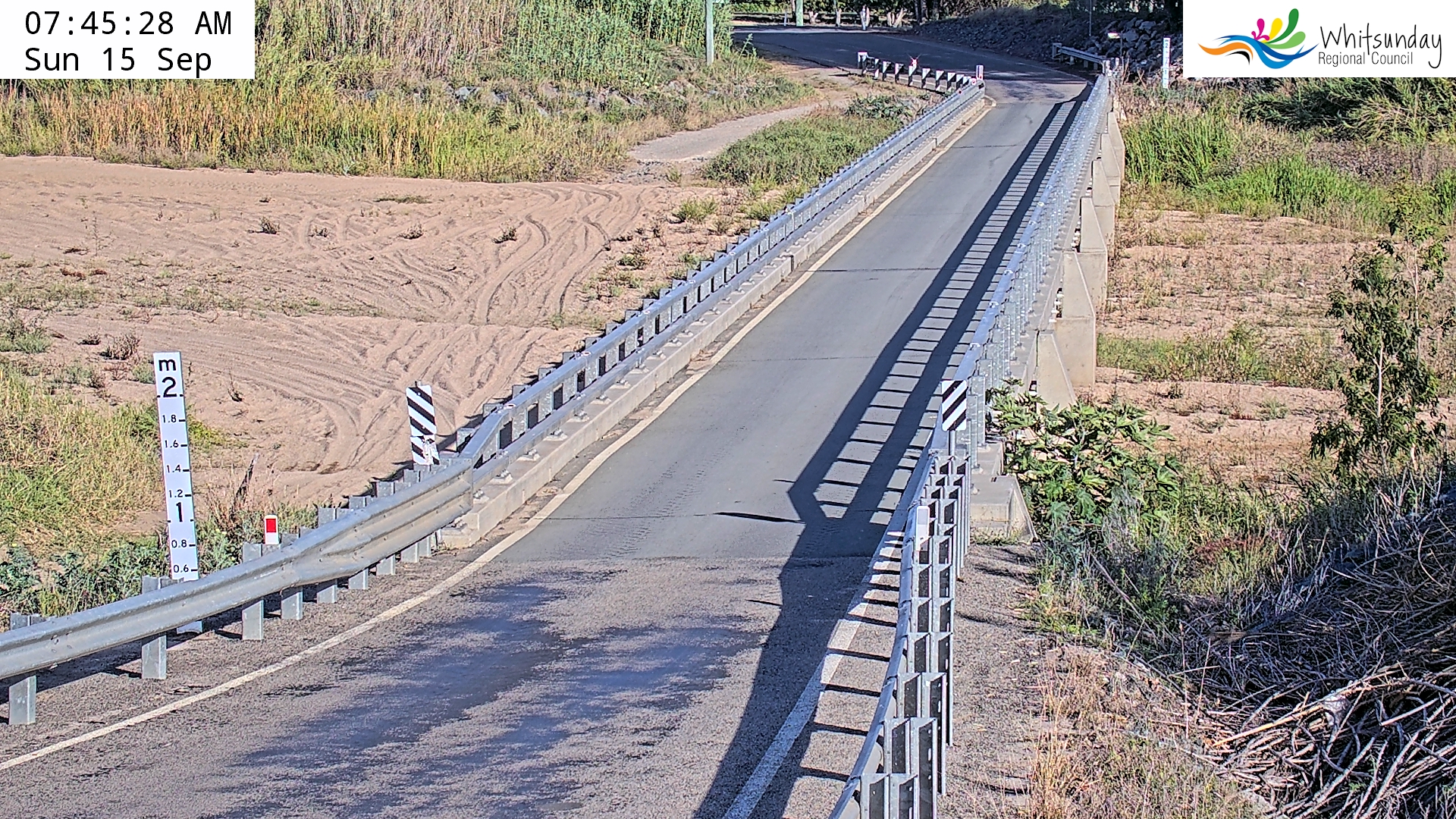
Kelsey Creek
FOUR WAYS BRIDGE
Queens Road
BELLS GULLY
Inverdon Road
BRIDGE (DON RIVER)
The Soldiers Road
BELLS GULLY